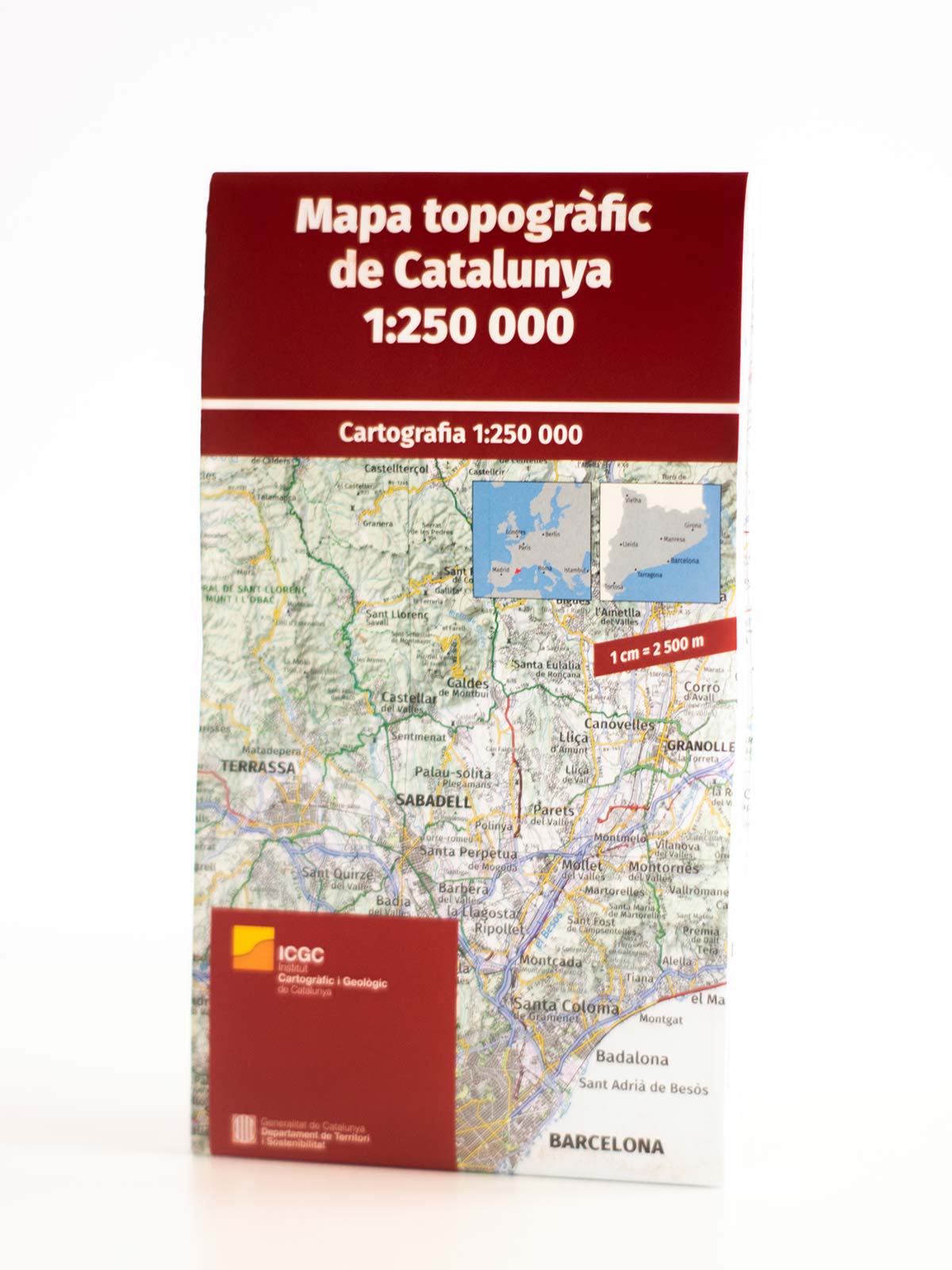
Cartographic Map of Catalonia
9,00€
Catalonia in a large and very detailed road map from the Catalan survey organisation, with an excellent presentation of the topography of the region, plus a 1: 125,000 enlargement for the area around Barcelona.
32 in stock
Contours at 100 m intervals of shading of the relief are complemented by names of mountain ranges, peaks and passes, national parks and protected areas, as well as colors to indicate different types of vegetation.
The road network is finely graded in different colors, but does not show the distances traveled. The mapping of the current edition has been refined and the overall background color has been lightened so that secondary roads in the mountainous areas of the region are now clearly visible. The UTM grid has intervals of 25 km, with margin marks at 5 km.
The legend is presented as an extract of the map with 70 different elements: roads and railways, administrative boundaries, topographic information, etc., numbered and then listed with explanations only in Catalan. The map has no index.
An enlargement shows the surroundings of Barcelona in greater detail. All topographical and road information extends to France and Andorra, to present a good overview of the eastern part of the Pyrenees. Also included is a small map showing the administrative division of Catalonia.
Be the first to review “Cartographic Map of Catalonia” Cancel reply
This site uses Akismet to reduce spam. Learn how your comment data is processed.





Reviews
There are no reviews yet.